 Centre for Maritime Information Services (CMIS)
Centre for Maritime Information Services (CMIS)
CMIS is focusing on the data collection, retrieval and analysis to generate scientific information on coastal and maritime process and events to educate students and coastal communities. Fetch funding from different institutions and conduct training programs, customized and Innovative courses and workshops to different maritime players. CMIS has expertise in retrieving information from satellite data and developing Geographic Information System (GIS) based information tools for decision support, planning and management.
The main theme of the Centre is to develop capacity building towards applications for coastal, marine area conservation, and resource management. Establish effective monitoring mechanisms for sustainable usage of coastal and marine resource. Create awareness on disaster management and hazard control. Conceptualize training/awareness programmes on the Space Applications and Geo-informatics to the students of different levels and conduct classes to the school and college students to invoke create interest in applied marine sciences.
Faculty Members
Dr. P N Sridhar, Scientist and Head
Dr. R. Kannan, Junior Scientist
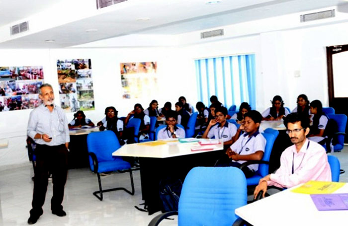
Educating Coastal Regulation Zone (CRZ) and guidelines to the entrepreneurs
- Bring awareness to different stakeholders, teachers and students on the recent developments in Maritime Science and Technology, its applications and tools for the sustained growth.
- Understanding the marine ecosystem dynamics and its responses to climatic changes.
- Study different coastal and marine issues and their causes.
- Identifying cross impacts, conflicts among marine activities and finding solutions.
- Educate coastal communities, stake holder about maritime disasters (Cyclone, Tsunami and Storm surges etc.) management, and create awareness and preparedness on eventualities. Train the trainers to handle the coastal hazards such as oil slick and other toxic spills damaging coastal and marine habitats.


Collobration and Funding Organisations
- Chennai Port
- Indian National Centre for Ocean Information Services (INCOIS)
- Indian Space Research Organisation (ISRO-Bangaluru)
- National Remote Sensing Centre (NRSA-ISRO)
- National Institute Of Ocean Technology (NIOT)
- Integrated Coastal and Marine Area Management (ICMAM)
- Indian Meteorological Institute(IMD)
- Indira Gandhi Centre For Atomic Research(IGCOR)
Thrust Areas
- Integrated Coastal Zone Management.
- Coastal Zone Regulation and environmental compliances.
- Environmental Evaluation and Cross impact analysis.
- Coastal and Maine Disater mitigation and managent.
- Space Applications on the Coastal and Marine Resource analysis.
Facilities
- IMAGINE-ERDAS software for the satellite data processing on Windows platform.
- Forth generation workstation for satellite data processing and spatial data base.
- Trimble Geo7Series-Global Positing and profiling system.
- DHI’s MIKE 21 features on modeling of waves, wave reflection, refraction, diffraction and sediment budgeting.
- STAAD.Pro-The coastal modeling laboratory is also equipped with a structural analysis and design computer program. STAAD.Pro is also used to analyze and design virtually any type of structures.
- NIKON–D-3400 camera for ground truth data collection, validation and thematic map generation and calibration of satellite derived parameters.
Research Publications
| S.No | Project Title | Funding Agency | Sanction No & Date | Budget |
|---|---|---|---|---|
| 1 | Satellite Based Study of Shoreline Response to the Coastal Structures along Chennai – Krishnapatnam Coast | ISRO RESPOND, Government of India | ISRO/RES/4/681/20-21; 29.06.2020 | 28.42 Lakhs |
Technical Booklet
Application of Satellite Remote Sensing and Geographic Information System in Marine System Studies - Dr. P N Sridhar & Dr. N.Manoharan, CBA Publications